waypoint SurveyS
Accurate uncomplicated surveys,
delivered quickly and always competitively priced
Accurate uncomplicated surveys,
delivered quickly and always competitively priced
No call centres, no account managers, no briefing lost in translation. When you contact Waypoint you speak directly with the professional carrying out your survey from the initial conversation through to final file delivery. That means faster communication, fewer misunderstandings, and a service that genuinely understands what you need.all legal requirements.
We know how much dead time costs. Our streamlined workflow means we can offer next-day surveys and rapid delivery on many jobs. We invest continuously in the latest technology to cut costs and work faster without cutting corners.
Every project starts with a free consultation. Not sure exactly what you need? That’s fine — we’ll help you work it out, then provide a clear fixed-price quote before anything starts. What we quote is what you pay.used for a variety of purposes, including land-use planning and engineering design.
For businesses who prefer to keep their supply chain discreet, we can deliver documentation under your branding. We slot in quietly, do the work, and let you present it in your “in house” way.
You may well need several different and/or recurring surveys to get to your goal. We know how it works and are ready on standby to go when you need us through all phases of your project.
We work with a wide range of clients from national contractors to individual homeowners. Whatever the scale, the service is the same: accurate, concise data, clear communication, with a quick delivery at competitive pricing.
If you’re a professional practice or contractor looking for a reliable survey partner you can call on without the overhead of a large firm, we’d love to talk.
Whether you are looking for just a couple of surveys for a planning application, or reliable long-standing partner to your business, we deliver accurate, professional industry standard survey data on timescales that keep your project ahead.
We work with architects, project managers, contractors, heritage organisations a

The Topo is the foundation of many projects — and getting it right first time saves costly revisions down the line. A quick chat with us can easily confirm the level of detail required to avoid paying for an unnecessary change later.
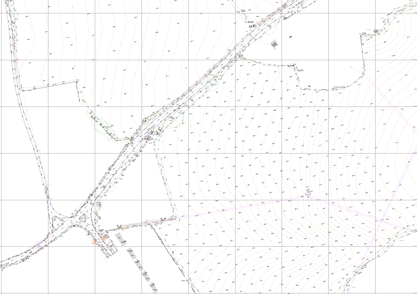
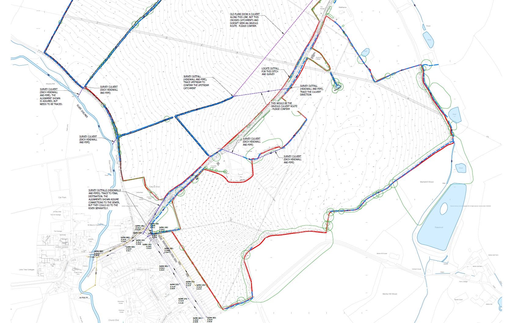
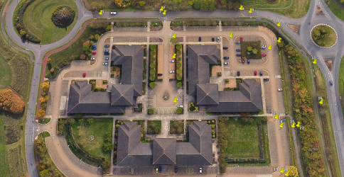
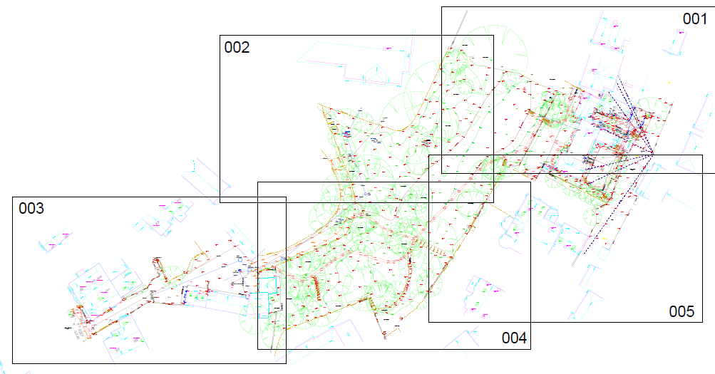
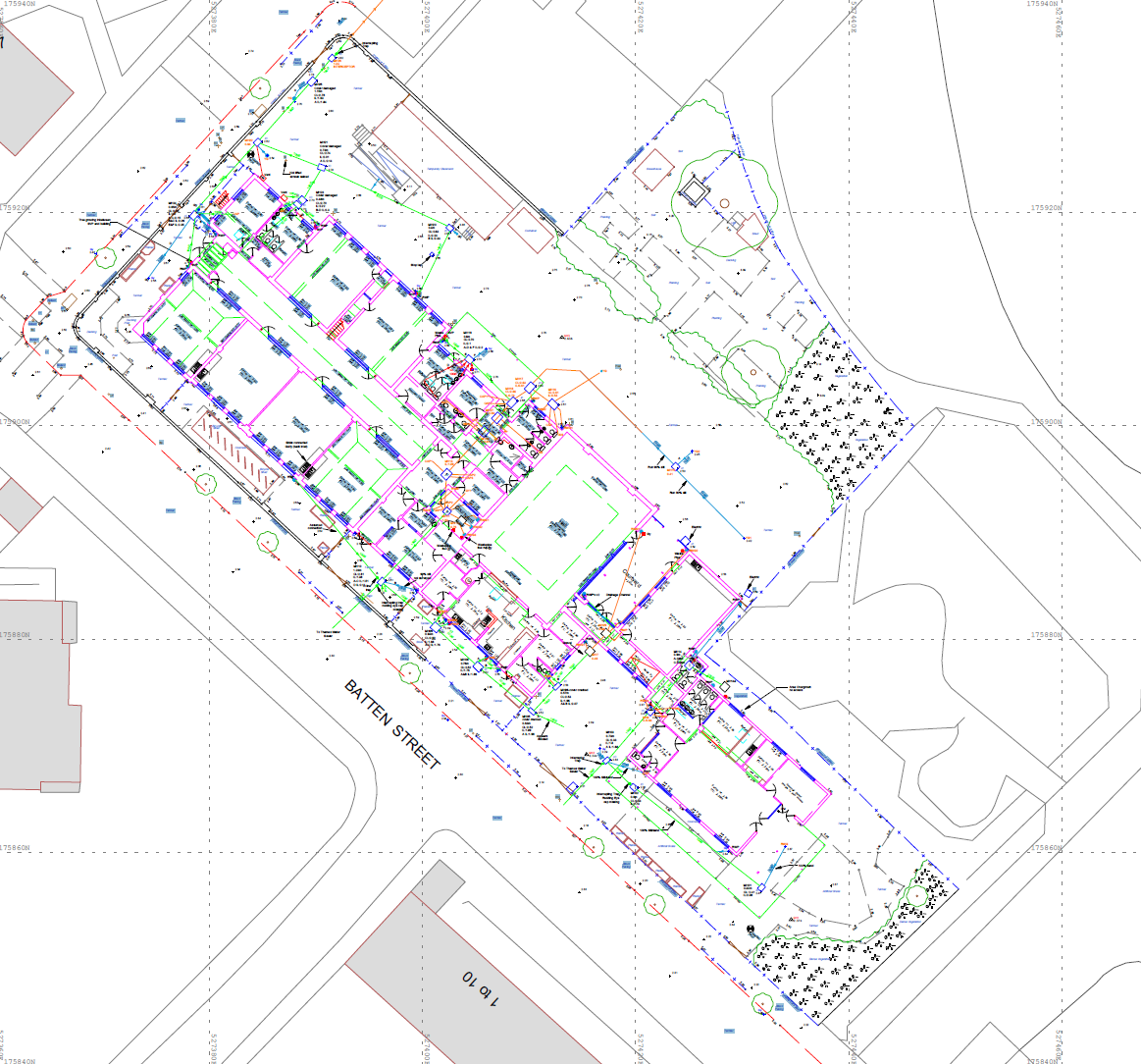
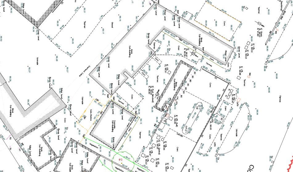
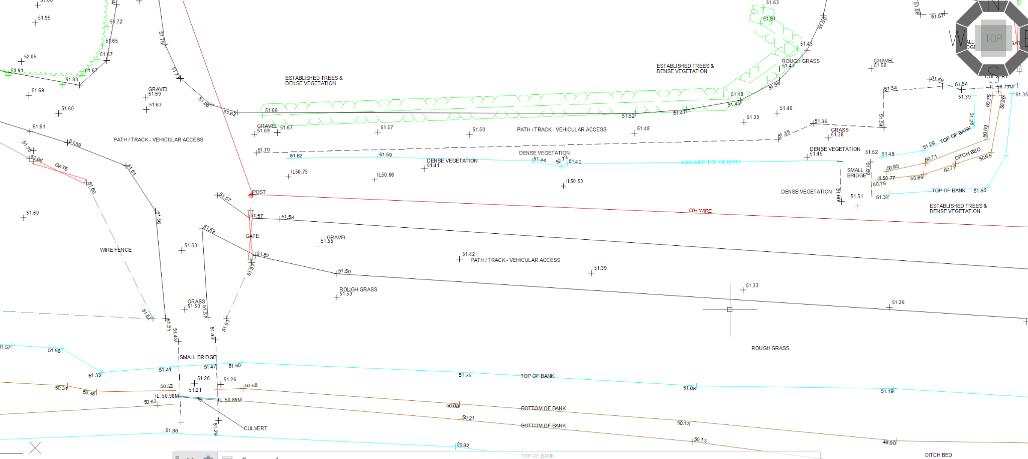
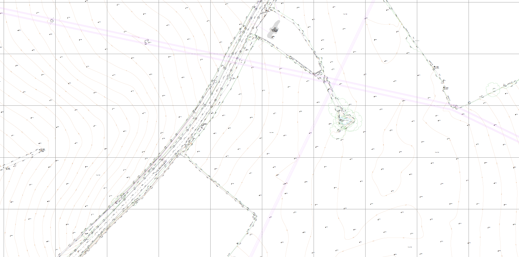
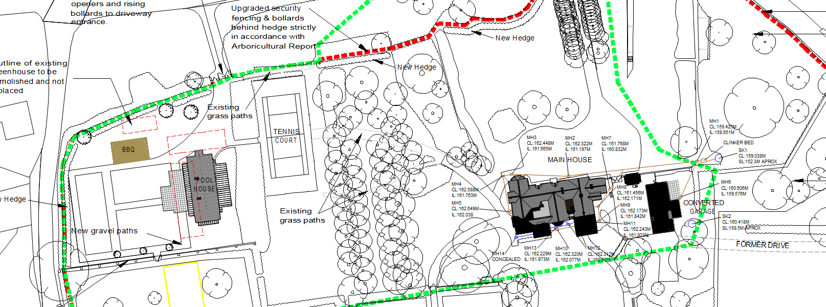
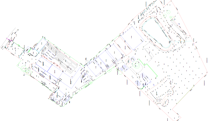
We carry out precise topographical surveys capturing ground levels, natural features (vegetation, watercourses, slopes etc), and built structures (buildings, roads, boundary walls, drainage etc). Delivered as scaled 2D drawings or 3D point cloud data, or both.
We survey:
• Residential plots, houses and gardens
• Large commercial, industrial and residential sites
• Waterways, open spaces, farmland and parks
• Heritage sites
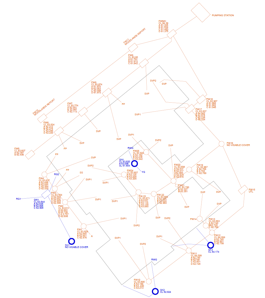
• Drainage - lifting the lids to get the levels
Standard delivery formats: DWG, PDF & KMZ (where applicable)

All Topographical surveys are supplied ready to go in industry standard formats. Geo-referenced to ordnance survey. PDF, DWG as standard. Google earth KMZ, JPG files or a format of your choosing.

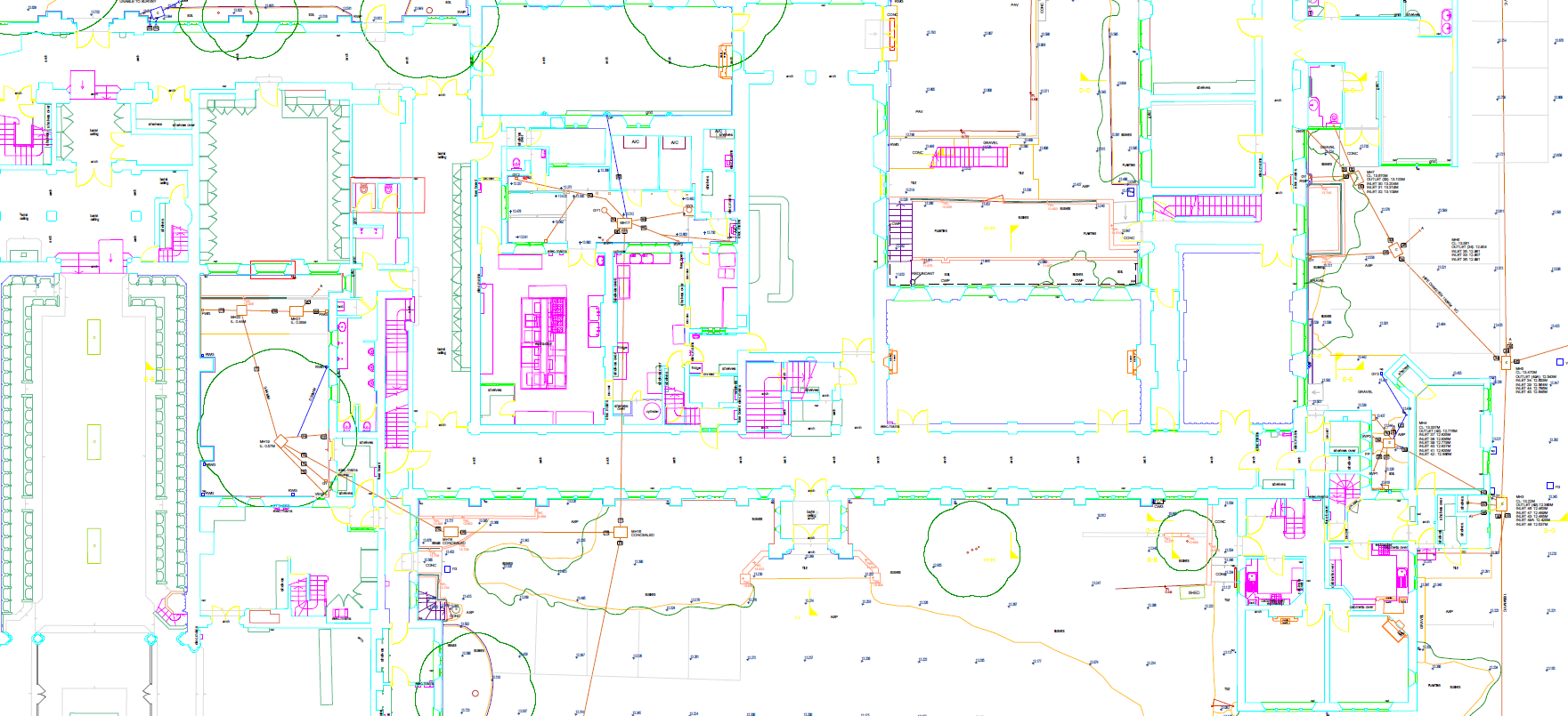
Accurate measured building surveys for numerous applications.
Extensions, refurbishments, planning applications, and lease plans delivered in the format your project requires.
We produce:
• Floor plans and lease plans
• Internal and external elevation drawings
• Cross-section drawings
All drawings are produced to the level of detail appropriate for your stage of design. We’re used to working alongside architects and interior designers who need clean, reliable data to build from 2D and 3D plans.

Where traditional surveying meets modern data capture. Our LiDAR and SLAM scanning equipment produces dense, accurate point clouds of sites, structures and buildings inside and out. Ideal for complex geometries, heritage recording, as built scenarios, augmented reality and BIM workflows. Used increasingly for planning applications in the UK, 3D scans have many uses and can be a cost-effective solution in many cases and are here to stay.
Delivered as LAZ, E57, PLY, or a format to suit your workflow.

Accurate setting out is critical once a design reaches site. We work with your teamn to transfer design coordinates to the ground to bring your CAD plans into physicality?????????. reducing errors, avoiding costly remediation, and keeping your build on programme.

A wide range of CAD work undertaken.
We’ve built Waypoint to be the kind of survey company we’d want to work with ourselves — straightforward to brief, easy to reach, and reliable enough that you stop thinking about the survey and get on with the project.
Open today | 08:00 – 18:30 |

WAYPOINT SURVEYS
01732 647 078 hello@waypointsurveys.com
Bases in Sevenoaks, Dulwich & Tenterden